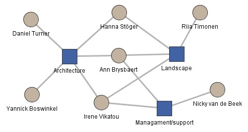
Diagram of the SETinSTONE project members
showing the interlinked nature of all the sub projects

Diagram of the SETinSTONE project members
showing the interlinked nature of all the sub projects

Building processes and social practices are being assessed via an interdisciplinary methodology consisting of econometric, statistical, computer-based, anthropological and theoretical approaches. We collate a range of varied data on human ecology and past economies to illuminate the interconnected networks of human and resource interactions that affected people’s day-to-day activities, and their wider economic, cultural and socio-political contexts.
A detailed recording of monumental buildings is required in order to study their construction and use, with the additional aim of investigating the investment necessary for such buildings. Fieldwork methods for the recording of architectural features follow the methodology described by Pakkanen with slight adjustments for site-specific circumstances (Pakkanen 2009).
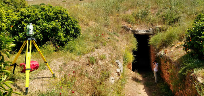
Recording began by mapping a base grid of fixed points using a Leica Differential Global Positioning System with an average location accuracy of 3 cm. Two Leica total stations established a further grid of fixed points that allowed for millimetre accuracy as well as rapid station setup for movement around line-of-sight obstacles. Using the reflectorless setting, daily measurements averaged 2000-3000 points per station.
A coding program converted the total station measurements into line drawings showing the approximate outlines of measured stones or, as in the case of earthworks, point clouds showing the outlines of dromoi (tomb access corridors), burial chambers, and tumuli. AutoCAD displays the models from any angle, and the .dxf format of the files can be combined in ArcScene to create a digital reconstruction of entire sites. Agisoft PhotoScan software supplemented the total station data by creating 3D models.
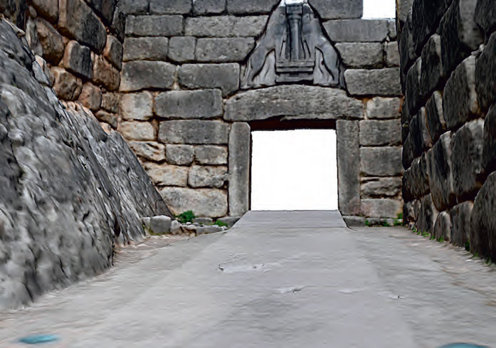
The latter are based on photographs taken with a Nikon D7200 digital camera, anchored by photo points that were measured with two total stations (see figure). Based on measurements from both the AutoCAD drawings and the photogrammetry models volumes of earth and stone building materials can be calculated, which are further combined with task rates to estimate labour costs.

A section of a preliminary photogrammetry model of the Lion Gate at Mycenae
(image: Yannick Boswinkel).