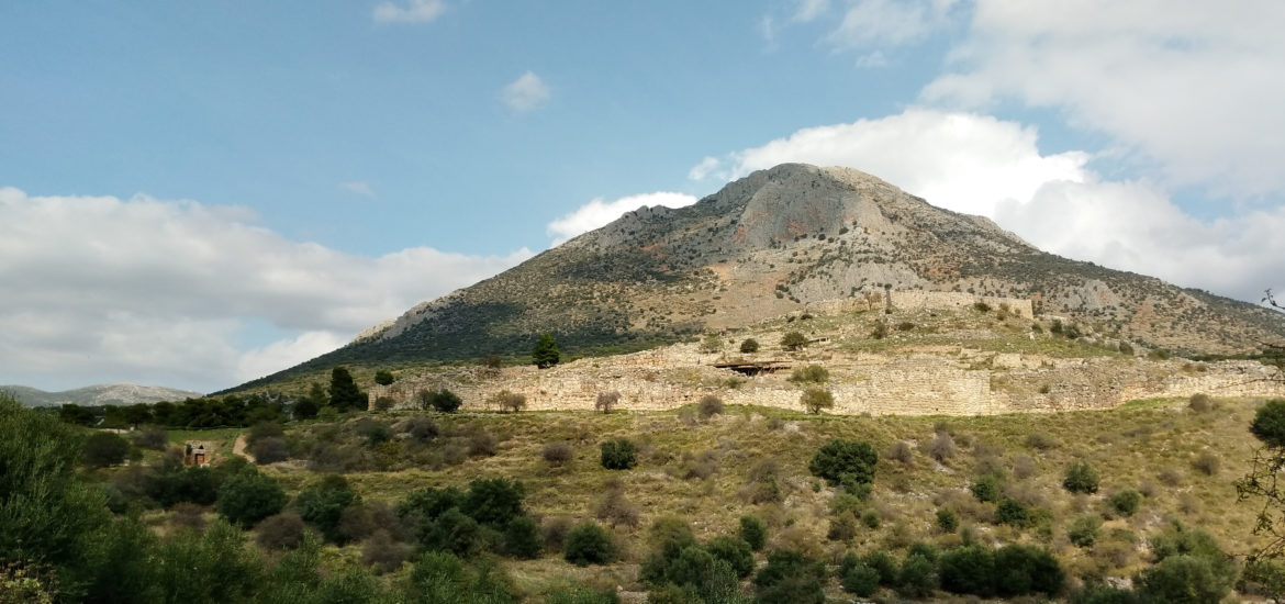
Mycenean roads
During fieldwork seasons in 2017-2019, Ann Brysbaert and Irene Vikatou have surveyed the Mycenaean landscape of the Argolid in order to verify published trajectories and architectural remains. In recording these routes with GPS, they aim to generate digitized maps exhibiting the overall Mycenaean road network in the Argolid, and analyze these using GIS software.
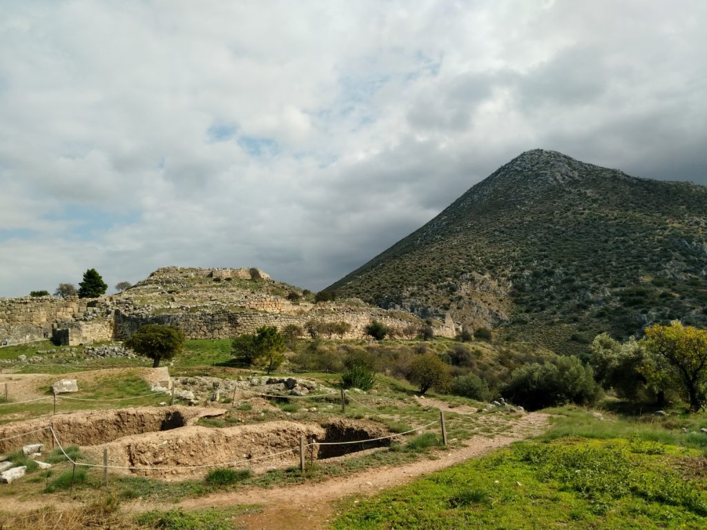
Mapping Mycenaean roads
Monumental architecture
During the summers of 2016 and 2017, Yannick Boswinkel and Daniel Turner completed fieldwork for their respective PhDs on the construction of Mycenaean fortifications and multi-use tombs. At the Menidi tholos tomb north of Athens, documentation methods learned at the Salamis field school were used to record its monumental entrance passage and burial chamber built and used during the LH IIIA–B period (c. 1400–1200 BC). The following summer, sections of the Cyclopean fortification walls were recorded at the citadels of Mycenae and Teichos Dymaion, and more than 90 tombs were documented at the large Mycenaean cemeteries of Portes and Voudeni in Achaea. Photogrammetric modelling at each site allowed rapid documentation of visible architectural features that form the core of labour modelling data presented in the PhD monographs.
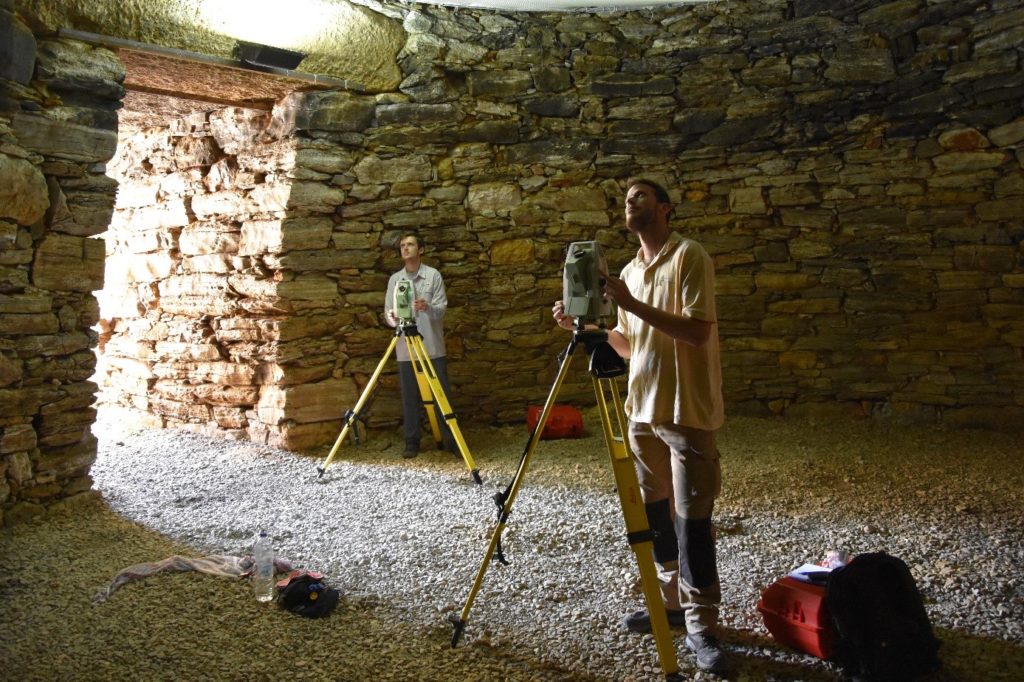
Daniel Turner and Yannick Boswinkel use reflectorless total station survey
to draw stones and georeference photogrammetric models
at the Menidi tholos tomb north of Athens in 2016
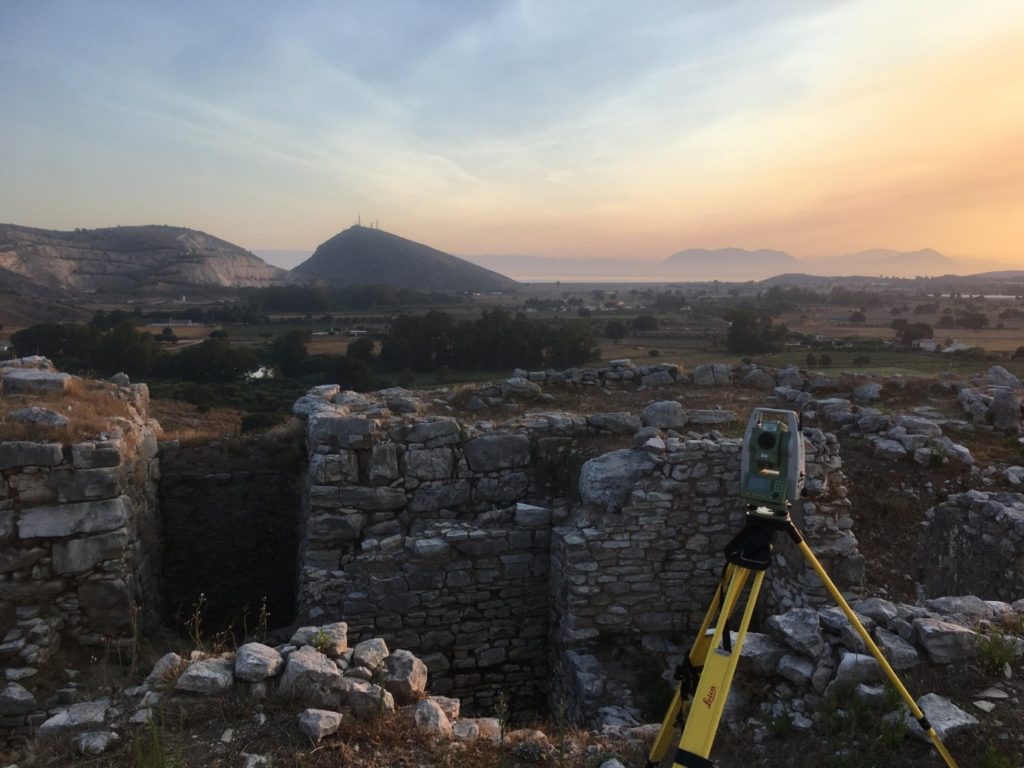
Dawn during fieldwork at the citadel of Teichos Dymaion in 2017
Salamis field school in 2016
In June 2016, SETinSTONE was invited to participate in the fieldwork training season on Salamis island in Greece. Salamis is best known due to its legendary naval battle which took place between the island and the mainland in 480 BC, between an alliance of Greek city states (under Athenian leadership by Themistokles) against a massive Persian fleet led by King Xerxes, and which was won victoriously by the far-outnumbered Greek troops.
The project’s initial aim was to concentrate on mapping the visible existing remains of the harbour town of ancient Salamis which is currently on dry land at Ambelakia Bay, and to find out which geophysical methods could be effectively used to record the sub-surface remains. The Salamis research team aimed to find out the location of the civic centre of the town, where the agora and the monumental buildings were and if it is possible to detect the locations of the sanctuaries mentioned by Pausanias (1.35.3 and 1.36.1)? The team also wished to discover whether the Classical town had a ‘Hippodamian’ grid design, and, if so, what the dimensions of the city blocks and the house plots were, and what the widths of streets may have been.
In order to obtain answers the practical work carried at Salamis formed the perfect training ground in the employment of the techniques also needed by several team member of SETinSTONE in order to conduct their own individual fieldwork. Therefore, the three PhD students – Ms. Riia Timonen, Mr. Yannick Boswinkel and Mr. Daniel Turner – joined students from the Finnish universities at Helsinki and Turku in both the geophysical prospection and the three-dimensional archaeological documentation training as part of the fieldwork. This fieldwork training season was financed by private donations from Finland and training funds of Dr Brysbaert’s ERC-funded project.
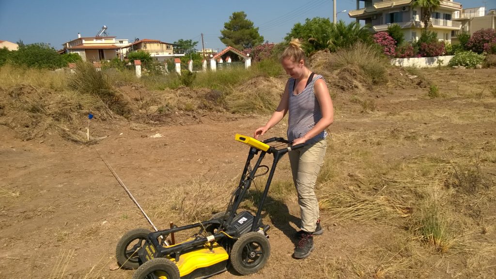
Riia Timonen at work with the Ground Penetrating Radar equipment
in the area of the West City Wall, Ambelakia
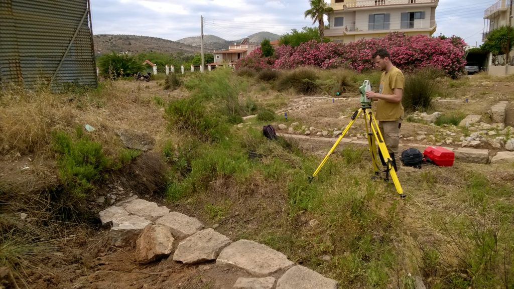
Yannick Boswinkel documenting a section of the West City Wall at Ambelakia
by means of reflectorless total station ‘drawing’
Ground penetrating radar, electrical resistivity and magnetometry techniques were tested and used in a complementary way for the geophysical prospection of the research area. Emphasis was on detailed mapping of the sub-surface features of the investigated areas and the layout of the geophysical grids was georeferenced using total stations. The geophysical prospection was directed by Dr Apostolos Sarris of the GeoSat ReSeArch Lab of the Institute for Mediterranean Studies of the Foundation for Research and Technology, Hellas. Riia Timonen was involved mainly in this work due to her prior experience with these techniques and she was able to share her knowledge with the new students on the course.
The aerial survey of the research area was carried out using a radio-controlled drone. Free satellite data was used to create an initial digital elevation model of the wider study area. All architectural surveying and documentation was fully georeferenced and was carried with total stations and photogrammetry in three dimensions. Dr. Ann Brysbaert who had experience in the employment of these methods since 2009 aided in the training of both the Leiden and the Finnish students. Especially Daniel Turner and Yannick Boswinkel were active in employing both the methods in the field and learned to use the necessary software programmes for subsequent data processing in the afternoons: the field data collected during the mornings are directly linked to GIS, CAD and photogrammetry software for further analysis immediately during the fieldwork season.
The field training at Salamis was very much hands-on and instant: this means that after a period of two weeks each participant was able to pass on the knowledge obtained to other trainees and, as such, the field training programme forms a very valuable first step in architectural and landscape documentation for all archaeologists.
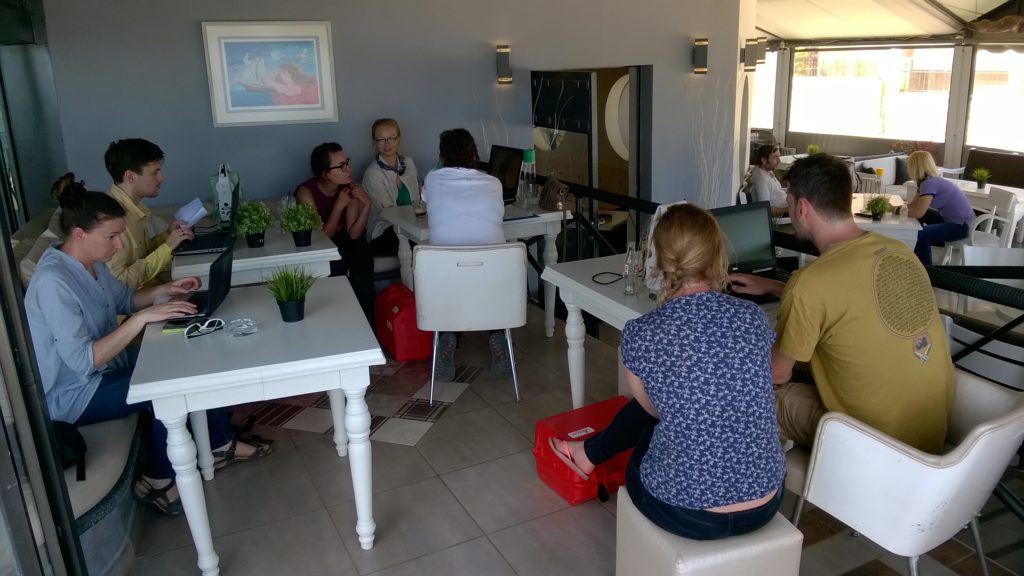
The field data collected in the morning was processed in the afternoons